2012
Snowstorm drive reveals the perception gap

Infrastructure for Autonomous Mobility
Current AV systems rely heavily on onboard perception systems that degrade in extreme weather and poor visibility.
Cameras, LiDAR, and HD maps degrade in snow, fog, and construction — precisely when safety matters most. Vehicle-only perception cannot solve this alone.
Vehicle-only perception has hit its ceiling. Intelligent Path moves intelligence into the infrastructure itself — so autonomous systems stay reliable when conditions are worst.
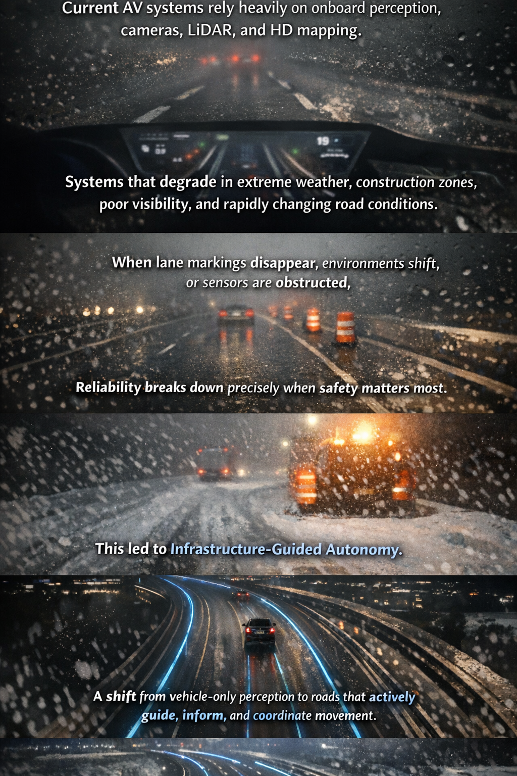
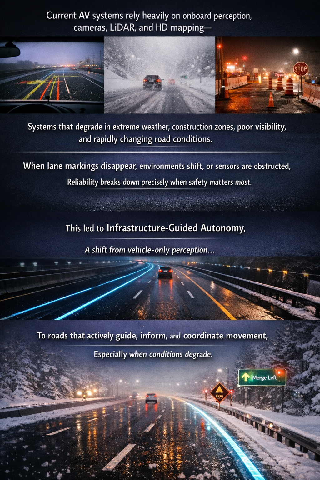
In 2012, Peter Yeung drove from Ottawa, Canada’s capital, to Florida, United States through a snow-blind storm. As lane markings disappeared and visibility collapsed, the limits of both human and vehicle-based perception became undeniable.
The insight was simple: autonomous vehicles cannot operate as isolated systems. They need a partner in the environment.
This led to Infrastructure-Guided Autonomy—a shift from vehicle-only perception to roads that actively guide, inform, and coordinate movement, especially when conditions degrade.
"The road should be as smart as the car driving on it." — Peter Yeung
Intelligent Path is actively expanding its intellectual property portfolio across United States, Europe, China, India, Singapore and other global markets.

An autonomous vehicle system navigates using road markers that return discovery signals with positioning data. Real-time steering is managed via an onboard controller or 3D map database.
This invention guides autonomous vehicles using infrastructure-embedded sensors to provide real-time road, speed, and parking data. The networked system ensures reliable navigation regardless of weather or lighting conditions.
Navigating via road markers, this autonomous system uses discovery signals to receive positioning and directional data. Real-time guidance is then executed through an onboard controller or 3D map database.
As vehicles transition to full autonomy, they require more than basic lane-keeping; they need real-time traffic updates, infrastructure data, and charging station navigation. This invention provides enhanced navigation and control for semi-autonomous and autonomous vehicles without requiring costly infrastructure upgrades.
Active devices [1] are embedded in road infrastructure, such as signs, lights, and lane markers. These devices provide predefined data to replace or supplement traditional road details.
Moving beyond basic driver assistance, this system provides semi-autonomous and autonomous vehicles (SAAVs) with essential real-time traffic, infrastructure, and navigation data. It delivers these advanced control functions efficiently, eliminating the need for expensive infrastructure overhauls.